
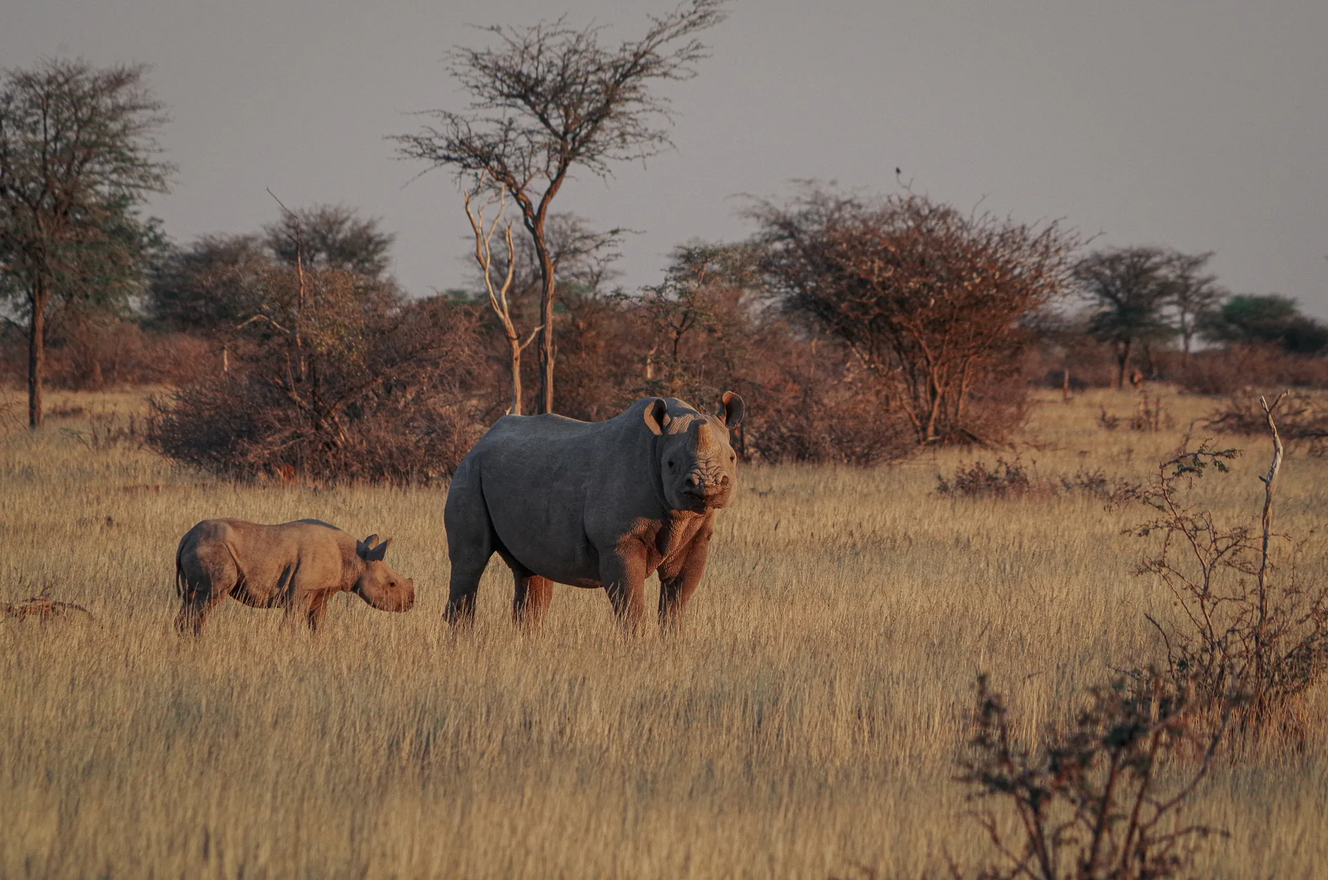
We use technology to protect the world's most threatened species.


We are WIL
We are united by the mission to protect biodiversity by combining digitization and conservation while creating a positive environment for ideas and innovation!

Loading the video connects to YouTube and shares your data with Google. It also turns on the other YouTube videos on this website until you switch them off under “Cookie Settings” in the footer. Learn more.
World-Changing Solutions
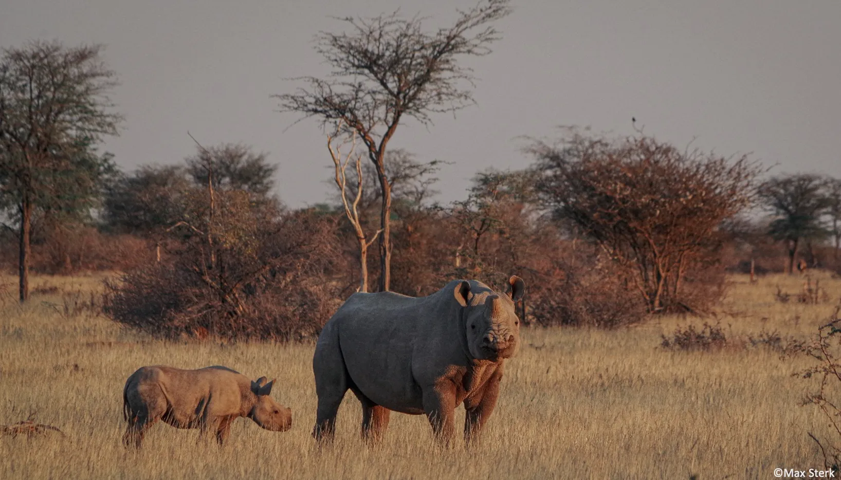
Wildlife
Stories that matter
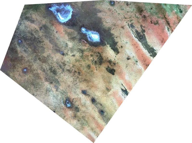
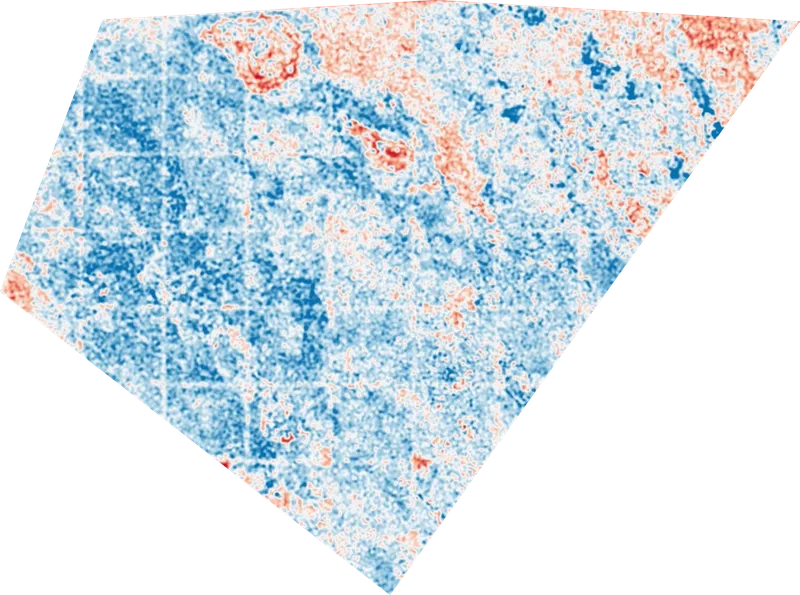
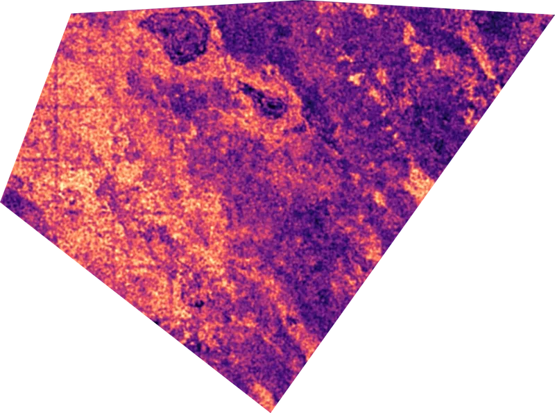
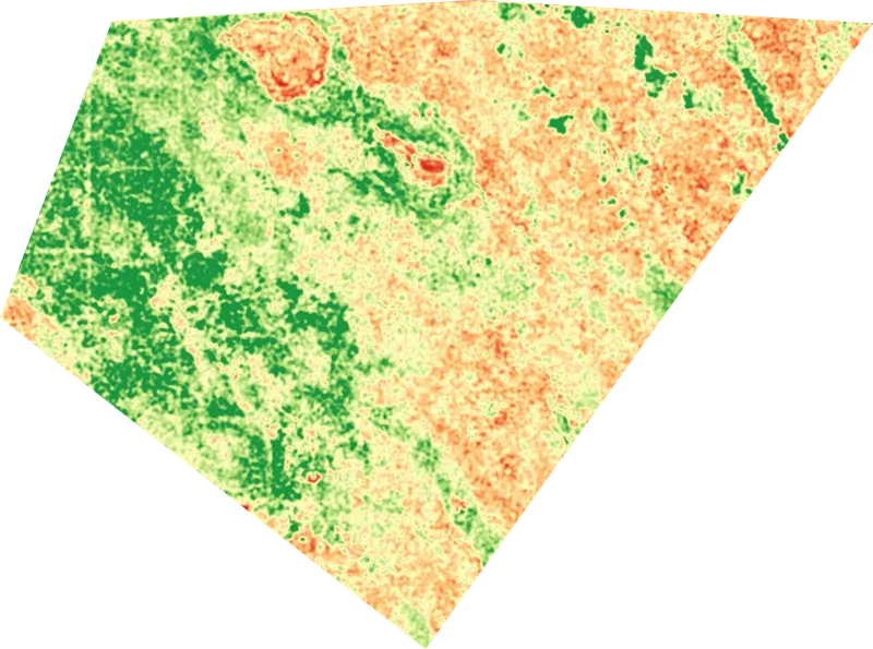
Choose the analysis.
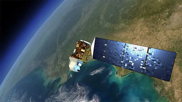
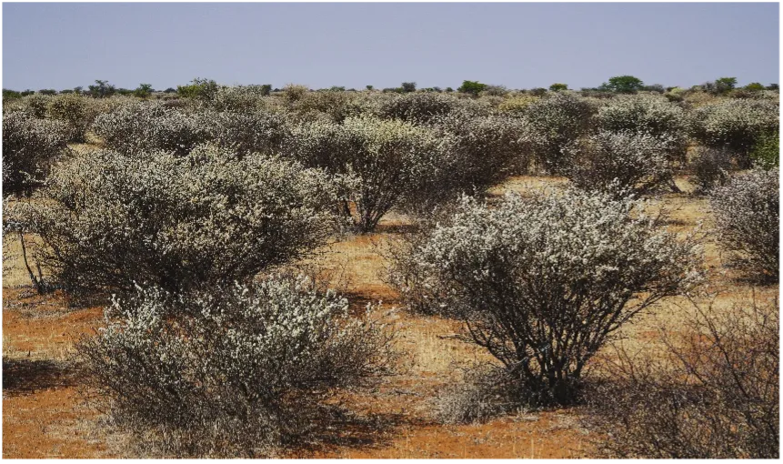
Our software enables various analyses based on satellite images. This includes the visualization of vegetation areas, vegetation density or the NDVI. The NDVI index detects and quantifies the presence of live green vegetation using this reflected light in the visible and near-infrared bands.
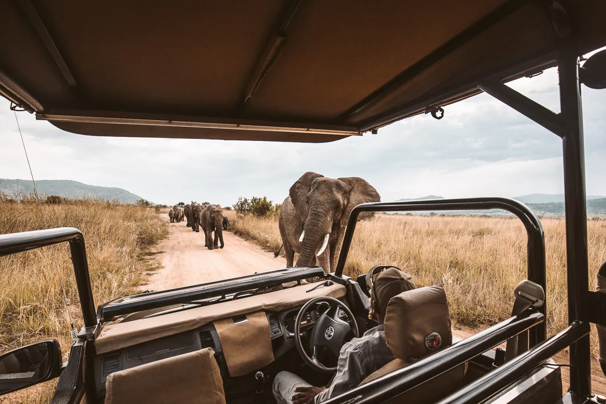
wildlife x technology
Technology has created things never deemed possible, it is now time to apply it to nature conservation!
Our Partners

“The quantification of ecosystems is the base to be able to understand what is going on in nature and how we can conserve.”
Friedrich Reinhard
CEO, Kuzikus Wildlife Reserve
machine learning
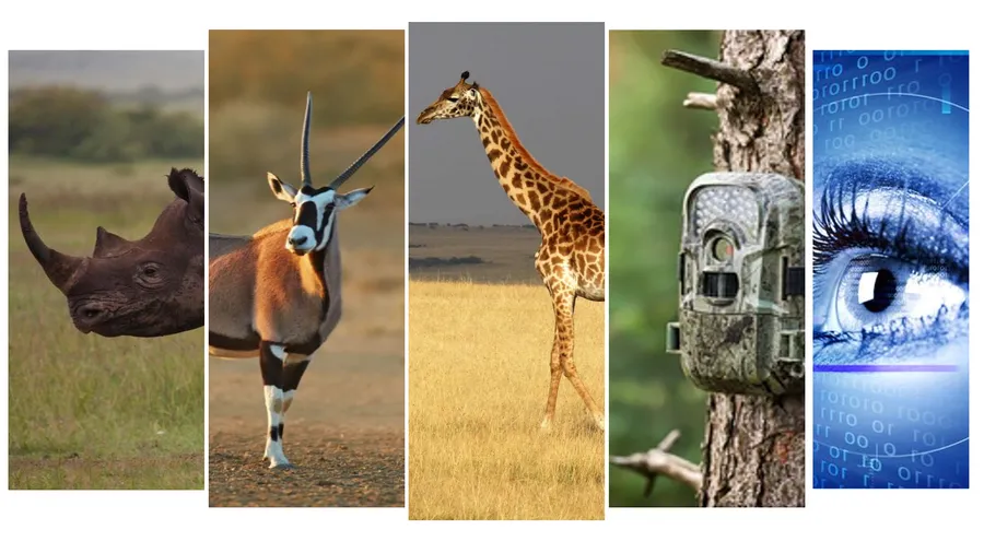
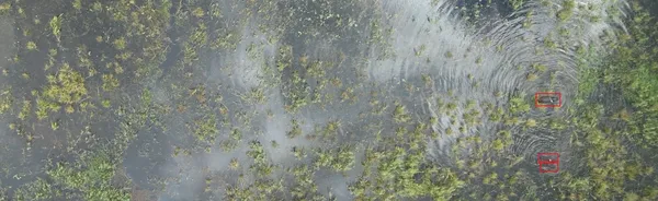
We are developing software that enables wildlife experts to automate the analysis of ecosystem data with machine learning.